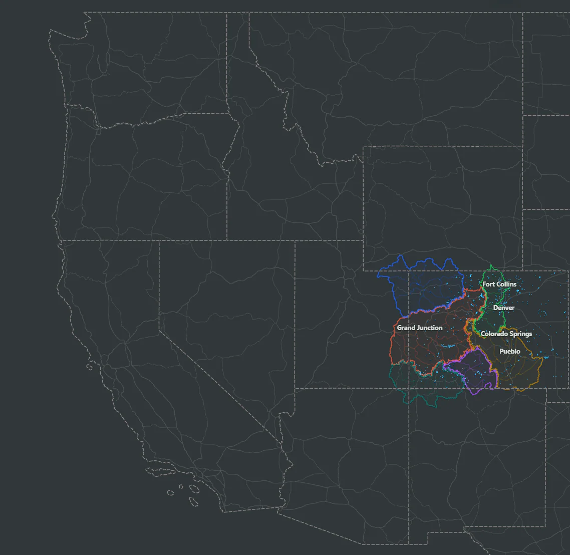
Useful first
Product decisions begin with what is genuinely helpful on the water.

Discover. Fish. Conserve.
Know the water before you fish it. Cutthroat Atlas brings the landscape, fishery, access, and conditions together so you can explore smarter, plan better, and arrive with purpose.
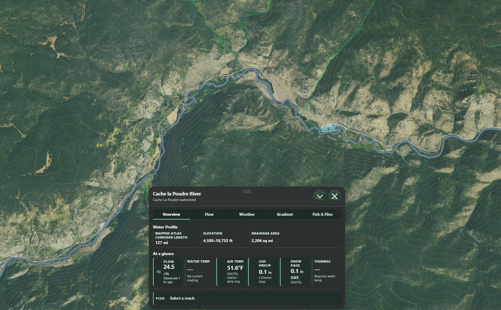
01Watershed context
A river is more than a blue line. See the terrain, tributaries, elevations, and surrounding geography that give each stretch its character.
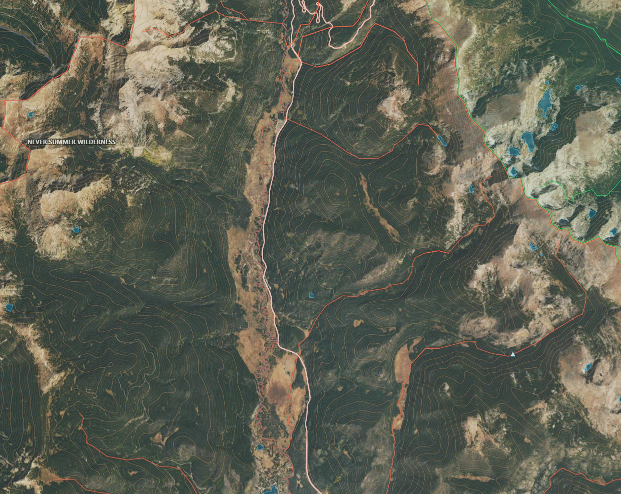
02Species in place
Native trout deserve more than a generic map layer. Explore species and cutthroat regions with conservation-aware context and careful boundaries.
03Field intelligence
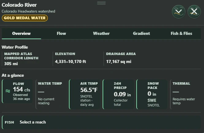
Bring the practical picture together before the first cast. Water facts, flow, weather, fish, and likely insect activity are organized for the day ahead.
04A considered rhythm
From the first contour line to the last field note, Cutthroat Atlas is shaped around the full life of a trip.
Read the water before you leave. Terrain, access context, weather, and flow live in one place.
Carry the details that matter into the field without turning the day into a dashboard.
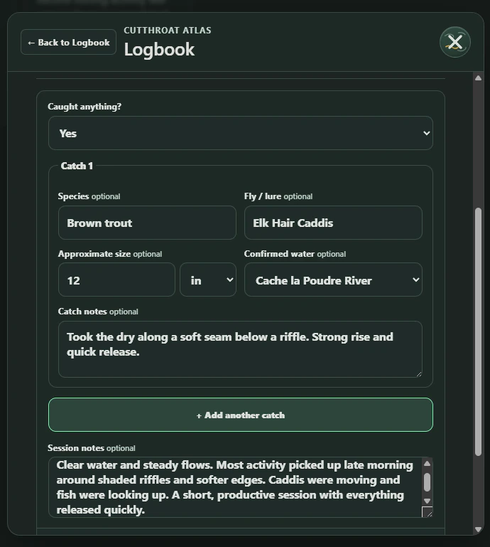
Keep useful observations close and build a personal record of water over time.
05Product philosophy
Time outside should not require giving up unnecessary personal context. Cutthroat Atlas is being built with restraint, transparency, and respect for the places people choose to remember.
Product decisions begin with what is genuinely helpful on the water.
Trip planning and field notes are treated as information worth protecting.
Privacy controls should be understandable, deliberate, and easy to find.
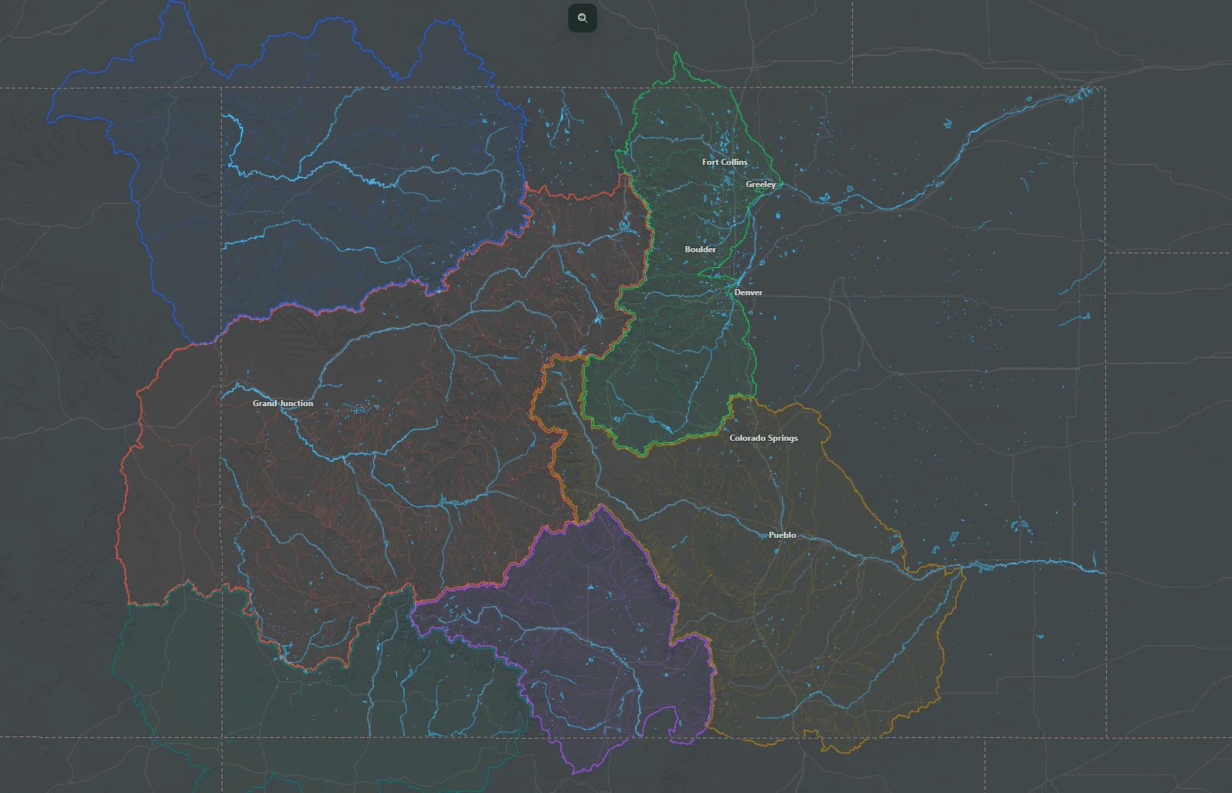
06The starting watershed
Colorado is where Cutthroat Atlas begins. From here, the Atlas will grow across western trout country.
In development